Saturday, 28 February 2015

February 28th

Market day today.  Every Saturday, the south end of the park turns into a large market.  Everything from solar panels, to fresh vegetables, to refurbished engine blocks.  I took a look through the market on the Runner, which worked well; nice to have the height in a crowd.  Nancy & Kirk made the rounds, then Nancy dropped Kirk back at camp with me and made a serious pass.  

There’s front moving in, rain later tomorrow, and very windy and dusty today.  As a consequence, we didn’t do a lot more today.  We did go for a cruise north towards Lake Havasu and checked out Cattail Cove State Park.  Lots are tight, and little vegetation.  It did have a boat launch on Lake Havasu (ie, upstream of Parker Dam) and you could boat to 32 primitive campsites on the Lake.  If you had a boat.  

It bears mentioning what a paradise this is for gearheads.  Quads and Razors abound, we went to the local restaurant, and there were 8 or 10 razors in the parking lot.  There was a group in the campground with serious off-road jeeps, like, nothing left stock, very expensive, hard core, off-road machines.  The Razor-style machines are morphing into large 4 passenger, long suspension travel buggies that are hard to tell from full blown off-road racers.  There are no restrictions on the boats, and more than half seem to be large V8 above water exhaust bellowing beasts.  It can be noisy, but I well understand motorized fun; it all quiets down at night.  Must be a zoo here in the summer, however.

Plan on taking the Accord north to Lake Havasu City tomorrow, to see if we want to migrate further north. 
Friday, 27 February 2015

February 27th

Nancy was up and trout fishing at the crack of dawn, but nada, no trout.  We loaded up and headed for the west side of the strip, specifically Quail Hollow Day Use Area.


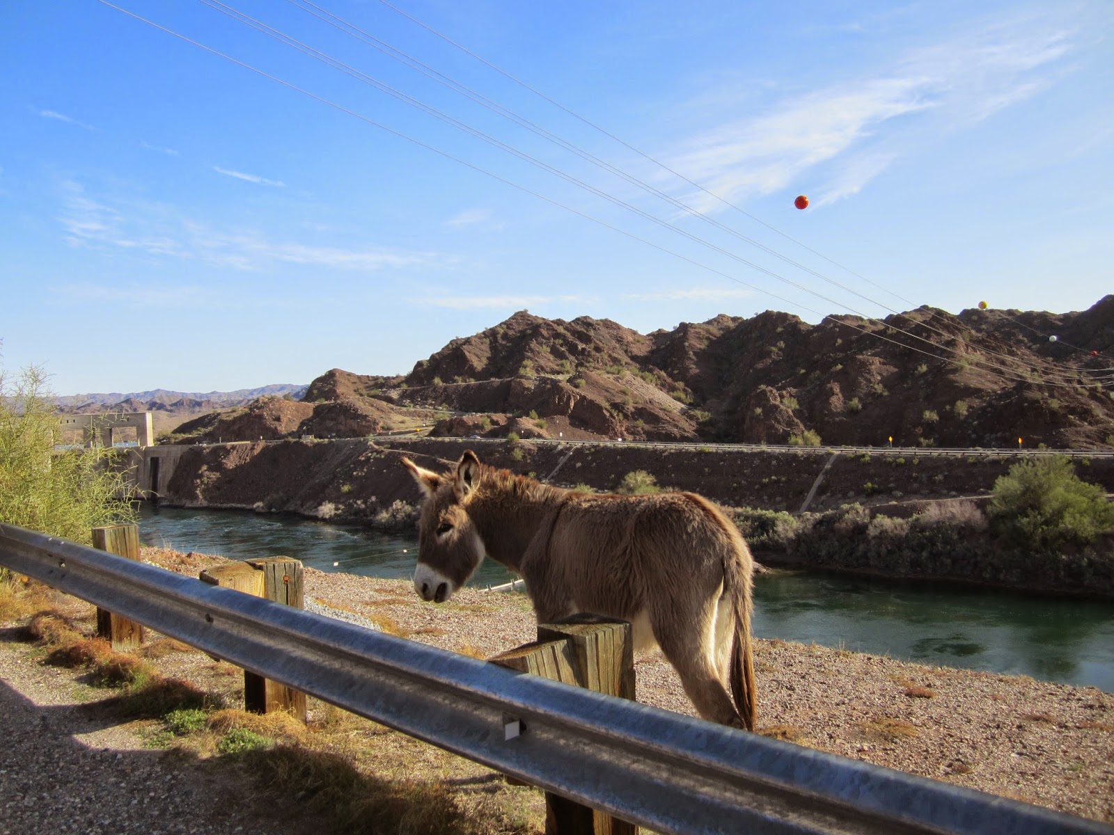
Just west of Parker Dam, we caught up with a pair of “wild” burros. 


A coolish morning has me in my long-sleeved shirt

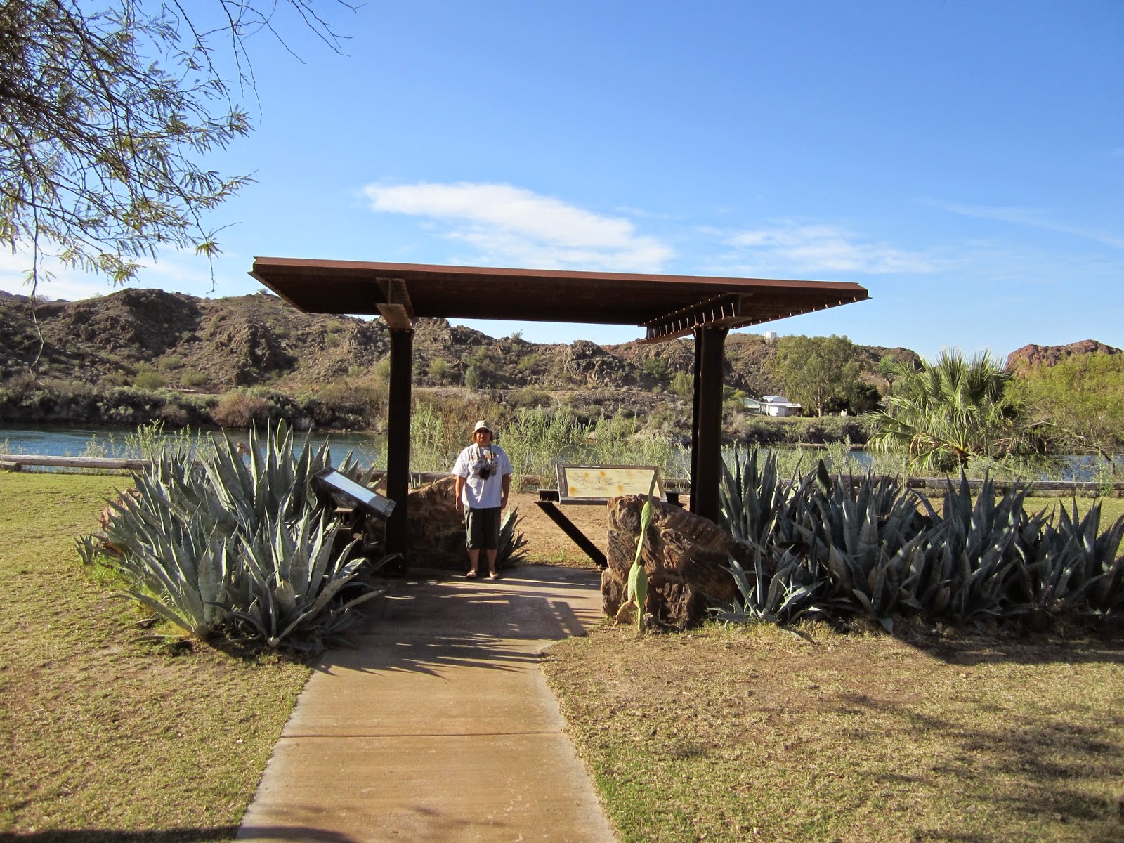
Kirk and agave

 Kirk wishing he was fishing 

Mesquite tree bark


Nancy had a brief truck about watching birds, and then got down to the real business of catching fish.  Kirk & I cheered her on from a comfortable location. the Bass were following her bait back in to her, but refused to bite.


Kirk, still wishing...

Interpretive centre volunteer's cool chopped up bug

Next up was the Rock House, where the helpful volunteer in the Interpretive Centre told her they caught Stripers down by the boat launch.  So that’s where we went.
A fellow fisherman was puttering upstream in his jon boat; Nancy and he compared bait and success.  Similar baits, and similar results; he said the fishing had been slow all winter…


We stopped at Takeoff Point, at the Parker Dam, on the way home.  Alas, no one was taking off.  It was our first glimpse of Lake Havasu.


Back in camp, I had a snooze (of course), and Nancy went fishing for trout (of course).  She had consulted an expert (Shelley), purchased marshmallows and worms, and was determined to outwit her trout nemesis.  In the end, it was an old cowboy who took pity on her, and borrowed her some of his Power Bait, an odiferous concoction apparently irresistible to trout.  “When you’re at Walmart, make sure you get Berkley Power Bait, the rest ain’t worth shit”.  She brought home two Rainbow Trout, which we had with fresh Arizona asparagus for supper.  Another happy day.

Thursday, 26 February 2015

February 26th

We started cruising about this morning, getting to know the new-to-us area around Parker, AZ.  We headed north on Highway #95, and checked out Buckskin Mountain and River Island State Parks.  They were very nice, very manicured, and close to the highway, so we’re happy in La Paz County Park.  We crossed the Colorado River at the Parker Dam.


This dam impounds the Colorado River and forms Lake Havasu, the largest lake in the area, and the main place to play on the water in the desert. There is tight security on the dam, no large trucks nor RV’s.  I was wondering why, thinking if the dam was breached it would flush the Parker strip over the Headgate Dam at Parker, and create a lot of problems around Lake Havasu.  Then the sign explained everything.


Lake Havasu provides the drinking water for Phoenix, San Diego, and Riverside; over 15 million people.  OK, that’s worth having some security.  

We continued south down the west side of the Parker Strip.  We stopped in at an interpretive centre, where a lonely and helpful volunteer dialed Nancy in on the area, everything from free boon docking, cheap boon docking, where to catch “Strippers” or bass, and where to get a fishing license.  (After Manitoba, where every little store has fishing licenses, it is a wonder to me how tourist-orientated states like Florida and Arizona make it so difficult to get a fishing license).  Nancy spent the $55 for an annual license, vowing to make it pay in fish.

Back to the campsite for lunch and a snooze.  Nancy spent some time stalking the wily stocked trout, with no success.  I started in repairing the Radian, gorilla glueing a rip in the foam, and re-anchoring the cowl screw mounts.  Supper was the all-you-can-eat fish fry next door at the Pirate’s Den, on the deck over-hanging the river, on a beautiful evening.  Nancy went back to try more bait combinations for trout, with similar results.

Wednesday, 25 February 2015

Parker, AZ


We took the blue route

We left Yuma this morning, and headed north on Highway #95.  On the way, we drove through Quartzite, AZ, famous home of free desert boon docking.  The countryside is very sparse, kind of like driving through a very large gravel pit that has a few (but only a few) shrubberies here and there, lots and lots of dust.   There were hundreds, maybe thousands of RV’s scattered around the desert like drifts of expensive trash. On the highway, RV’s outnumbered regular vehicles 3 to 1.  The entire town is based on servicing the hordes of RV’s.  It reminds me of the old lie, when you were a kid and having your tonsils out, “You can have all the ice cream you want”.  The unexpected catch was, your throat was so sore, you did not want any ice cream. The line here was “You can camp for free for as long as you want”.  The catch - you don’t want to camp there.

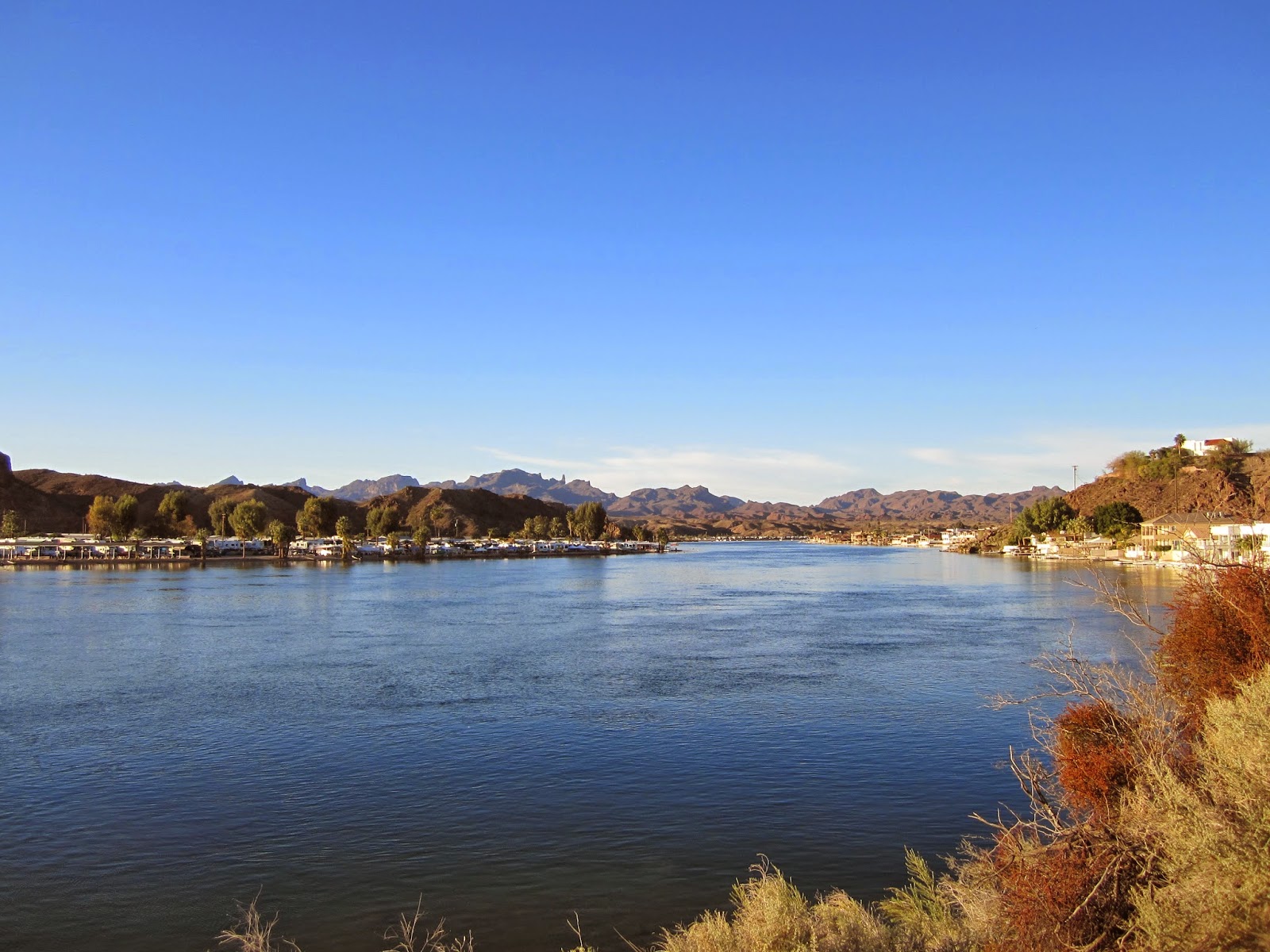
We headed through Parker, AZ, which is on water/lakes created by daming the Colorado river.  It’s apparently crazed in the summer, when Phoenix comes to the water to escape the ever present heat.  (In Yuma, the average high temperature for June, July, and August is over 100F.  September, it cools down to 91F). The state parks we wanted to stay at were full, so we settled for dry camping at La Paz County Park, at $16.00/night.  Turns out, we lucked into the right choice.  The park is on the Colorado River, with beaches, boat launches, and camping sites right on the water, where you can have your boat in front.  It is also very dog friendly.  We set up shop, had lunch, and I had the usual snooze while Nancy & Kirk went exploring.  I later went exploring on the Runner.  After supper we drove Riverside Drive to Parker and back, to get a sense of the lay of the land.  There is a day use area just south of us, with cabana benches at the waters edge, where you can sit and fish (Nancy), lay about and admire the water (me), or roll in the grass and chase the Coots grazing there (Kirk).  Oh, and the water is crystal clear...


Tomorrow's fishing spot.


Very Happy to be here.

188 Km. today.


Tuesday, 24 February 2015

February 24th

We looked up an RV parts place, in this case, RV Connection.  I got a couple of lens for interior lights that had previously been burned out by the heat of the incandescent bulbs.  No heat now with the LED replacement lights.  Nancy picked up some chemicals in her mission to have a bathroom you never, ever, smell.  I looked longingly over at the satellite TV section, but just walked on.

The next stop was Martha’s Garden, a Medjool date ranch and emporium.  We had Kirkly with us, so we couldn’t go on the date palm tour.  We did get a free sample Medjool date, and the world’s best date milkshake.  Some Yuma info; officially the sunniest place on earth, with 4,174 out of a possible 4,456 hours of sunlight.  No wonder the place is full of folks from British Columbia, trying to bake off their seasonal affective disorder.  And, with only three inches of rainfall annually, the perfect BC antidote.  The trip to the date ranch took us back into agricultural country; responsible for 50,000 jobs and $3 billion in industry.  I was admiring the laser guided computerized fieldwork; arrow-straight and dead level.  A 1/4 inch off plumb over a mile of field is a lot of water wasted.  There was a fruit and vegetable stand by the side of the road, with lemons the size of grapefruit, grapefruits, tangerines, oranges, peppers, asparagus, orange blossom honey, all for very cheap.  Nancy purchased asparagus, radishes, onions, cucumbers, peppers, limes, and apples.  The bad news was that we forgot the camera.  

We laid about for the afternoon, as is our wont.  We bought a couple of pounds (that’s the way they sell it) of chinese food at the buffet for supper (can’t eat in with Kirk).  We dropped the tanks tonight and filled with water, since we’re off north tomorrow, headed for the Parker, AZ area.

True to form, it was 72 F today, and sunny.

Monday, 23 February 2015

Winterhaven, CA


We had a sedate start, and rolled down I-8 towards Yuma.  Several things struck me. One, was how huge the military areas are in Arizona.  The Barry M. Goldwater AirForce Range runs from Ajo to Gila Bend north-south, and from Gila Bend to Yuma east-west; the last day and 1/2 of our journeys.  Two, was how they mine the water around here.  Take a look on google maps from Gila Bend to Yuma, nothing but desert, except for the bright green irrigated agriculture along the Colorado River.  It is politically expedient to over-estimate the river flows, and over-allocate irrigation water based on those estimates.  Taking more water than exists means the ground water is not replenished, and water tables drop even further.  It almost took an act of congress to release a slug of water, not allocate it, and ensure it got to the dry mouth of the river to try to rehabilitate the marsh/estuary.  It doesn’t help things that the mouth is in Mexico…


We did see a roughly square mile of evacuated tube solar collectors; quite impressive, sorry the picture’s so bad.  I also saw my first date palms, strangely enough in a place called Dateland, very Middle East.


Along the way, we decided that we weren’t really casino types, but we did like the sound of free camping, and that being around water sounded pretty good.  We came up with Mittry Lake Wildlife Area.  We found our way in, and started exploring for a site.  A nice guy on a Harley from Alberta dialled us in.  Sites low around the water had mosquitoes.  Too close to the road was dusty.  His site was higher up, and had a nice overlook of the lake.  We had lunch, I had a snooze, and Nancy & Kirk went for a walk to explore.  The road in was silt gravel with a 5mph harmonic ripple; a slow dusty drive.  While we were lunching, over 20 vehicles went by, some at a high rate of knots.  Final decision; too much dust, too little anything else.


Driving into Mittry Lake ran us through some agricultural areas, square miles of red lettuce, iceberg lettuce, broccoli, onions, etc., in all stages of production.  School buses with two portapottis on the back were everywhere.  Mexicans were harvesting lettuce, 20 or 30 out in the middle of a square mile of emerging greenery, hoeing.  Weird to see where your winter vegetables come from.  


 Note my cane for scale, large pine of some sort along the river.

Crowded, but homey.

Plan B was the River’s Edge RV Resort, very large, but with no dust, along the river, shade trees, a pool and other amenities, across the line in Winterhaven, California.

243 Km. today.

Sunday, 22 February 2015

Gila Bend, AZ


Last night there were strong south winds, which combined with high tide, resulted in the Bigfoot getting covered in salt, and rocking and rolling all night long.  When we woke at dawn, we were immersed in a salt fog, as the tide and wind abated.  We pulled back to a campsite away from the beach and flushed the salt from the Bigfoot, hooked up the Accord, gave our soon to be border contraband apples to the gatekeeper, and headed north.

We turned in our tarjeta de tourista to Mexican Migracion at the border.  US Customs had a quick look under the hood, and waved us on, perhaps a 30 second inspection. Headed north on Highway 85, we were stopped twice at permanent Border Patrol checkpoints, but other than a playful offer to take Kirk off our hands, they were non-events.

Stocked up on groceries passing through Ajo (ah-hoe).  Got as far as Gila Bend and pulled into Augie’s Quail Trail RV Park; we needed water for the Bigfoot tank and a decent laundromat after our week in Mexico. We were told we’re lucky to find a spot, there’s a national Winnebago meet somewheres near next weekend, and the faithful are already flocking in.  We’re thinking an overnight here, and maybe a free casino in Yuma, AZ tomorrow.


Nancy and Kirk photographed a few blooms on their afternoon walk.


 Oleander


238 Km. today.

Saturday, 21 February 2015

February 21st


Today was the Bigfoot’s wash day.  Our guy did a great job washing it, especially up on the roof.  As for the wax job, well, let’s say the Bigfoot got a vigorous massage, but not a lot of wax.  Other than that, we did not much else.  Travel day tomorrow, so we hung about camp. Nancy & Kirk did several beach walks, we got some sun and had a beverage or two.  17C with a breeze last night, and 24 C today.  Gonna miss the water.


February 20th


This morning, we went for a ride 30 Km. north-west-ish, along the Coastal Highway, #3, which was a good highway, including paved shoulders.  Apparently the highway is this quality right up to Yuma, part of Sonora’s strategy to get the west coast of the US easy access to Puerto Penasco.  Strange that it may be complete southward to Bahia Kino, but with no publicity, you cannot find out yea or nay.  Northwest of Puerto Penasco are UNESCO heritage and RAMSAR sites, where the Sonoran desert meets the sea, and important estuaries.  Our wi-fi is tenuous, so I haven’t been able to research these sites on-line. There was a small interpretive site along the highway, well conceived in installation, but sadly lacking in maintenance.


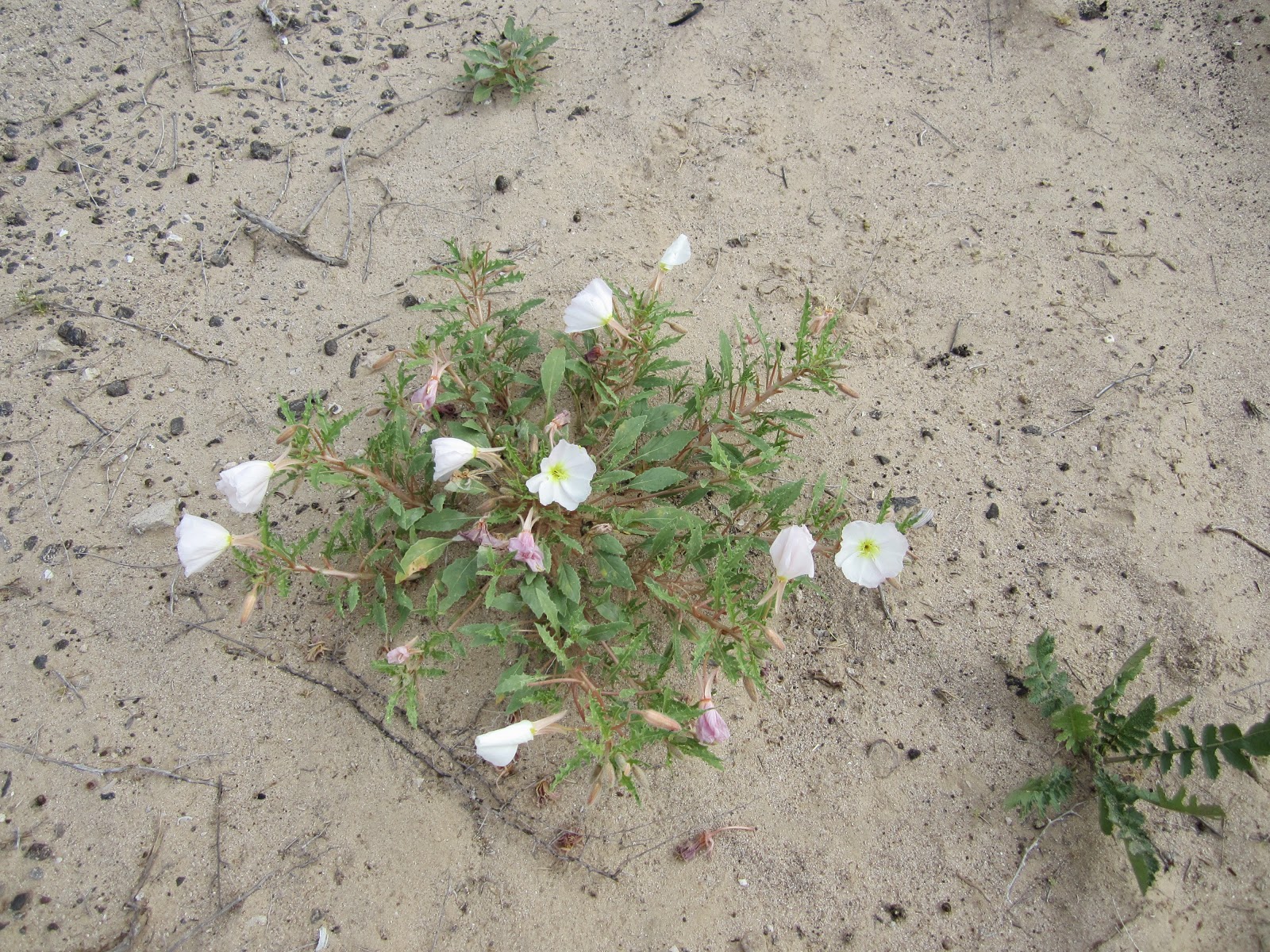
Flowers are starting to appear.  Nancy calls a stop, scurries out into the desert to take a picture or two, and the journey resumes.


Nancy, new to this retirement and taking it easy concept, decided that she must muck out the Bigfoot today.  As usual, she did a great job.  Tomorrow, our Bigfoot gets a much deserved wash and wax; the guy was by today, left his step-ladder, and asked us if 8 am was OK.  Saturday must be prime time for him; we said sure.

Tomorrow is also pack up day.  We have to be at the border by 11 am Sunday morning, when our insurance turns into a pumpkin.  Gila Bend (Hee-la Bend) is the destination of choice.


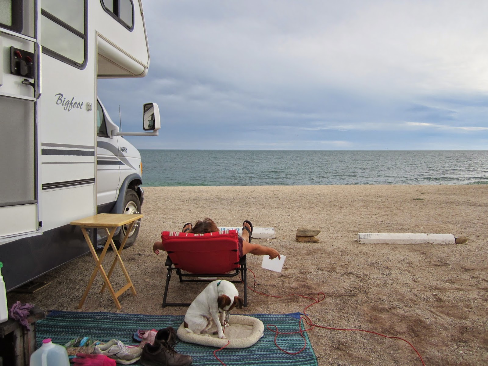
And here's one last shot of how close we are to the ocean.